|
Jones River Salt Marsh Erosion Monitoring
|
||||||||||
|
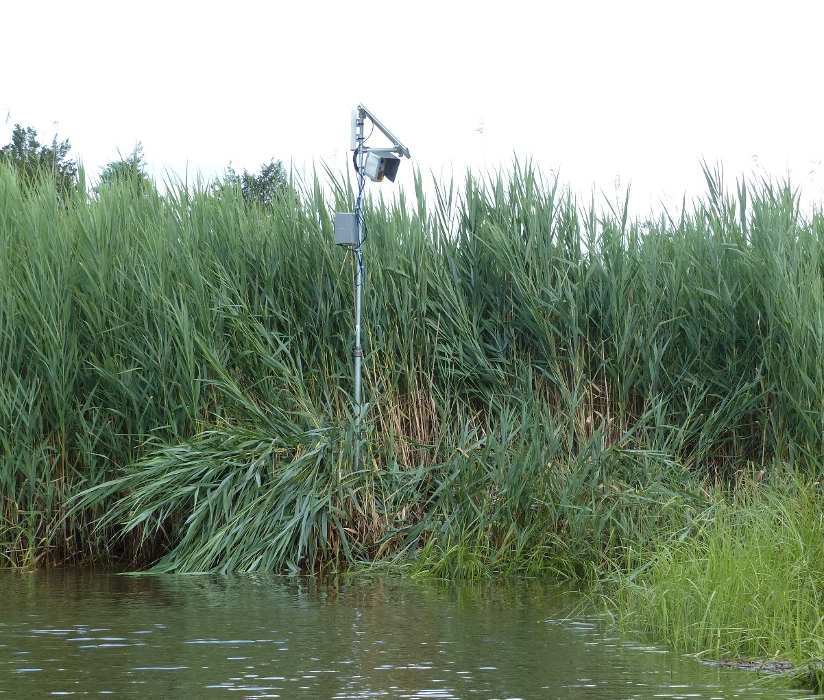
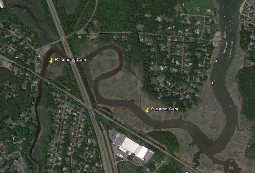
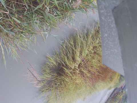
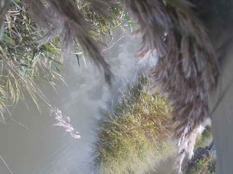
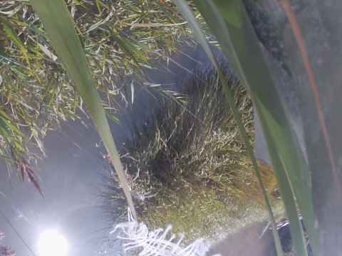
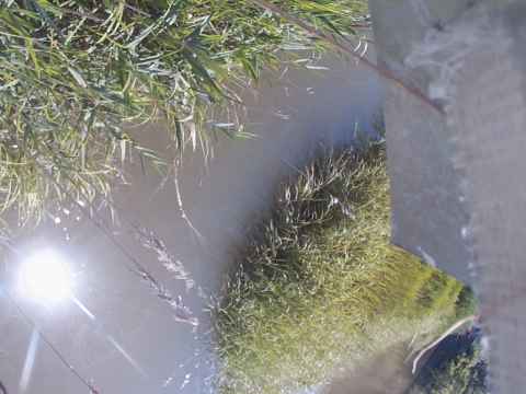
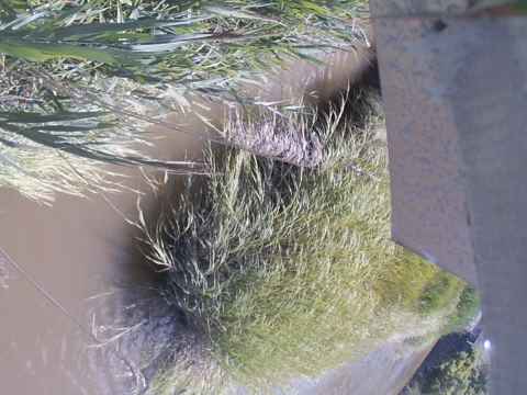
Wireless video cameras have been installed in a salt marsh in the Jones River in Kingston, MA to monitor marsh bank changes. The Jones River Watershed Association and MIT SeaGrant are studying the effect of sea level rise on coastal salt marshes. This project is using two video cameras to capture real-time imagery with high temporal resolution of marsh bank changes. The first camera was set up at a location near the JRWA office, providing time-series images of a familiar eroding marsh bank, and the second camera will be deployed at a location 1/2 mile downriver which is subject to more intense wave conditions. Both cameras will be deployed for several years to capture long term changes as well as instantaneous events. Project team: Juliet Simpson (lead investigator, MIT Sea Grant), Alex Mansfield (co-investigator, Jones River Watershed Association), Ben Wetherill (environmental sensor technology consultant, CESN). For more information, visit ACASAK Technologies. Cam 1 (Landing Camera)
Latest images. Updated every 20 minutes.
For daily images from the entire deployment and live video, visit ACASAK Technologies
|
||||||||||
|
|
||||||||||